 |
| Gearing up the bike |
 |
| Graffity stop due to... |
 |
| ...a flat tyre: A bad start should end good :-.) |
 |
| Hands on with an bavarian lion |
 |
| Crossing Isar on Flaucher |
 |
| Isar surfer |
 |
| On the holy scallop path |
 |
| The mysticla Georgenstein in the river Isar on the way south |
 |
| Maria's blessing on the way |
 |
| Isarauen |
 |
| Bavarian style break (no beer, it is coke ;-)) |
 |
| Can see the mountains in the back... |
 |
| ...thats where I want to go |
 |
| 1st night sleep on top of Brauneck |
 |
| Ahhhh, good to see the morning again |
 |
| Armin getting ready to launch on Brauneck south launch |
 |
| Armin up and away |
 |
| Airborne - looking back to brauneck south launch aerea |
 |
| Only the sky above me... |
 |
| ...mhhh: loosing hair? |
 |
| Yeah, no thermals this late in the year, but was able to cross the ridge into the next valley south: Jachenau |
 |
| Yeap, crosing over the gap that close :-) |
 |
| Flying pack set-up on landing zone |
 |
| nothing to write besides nothing to write |
 |
| This way walking south... |
 |
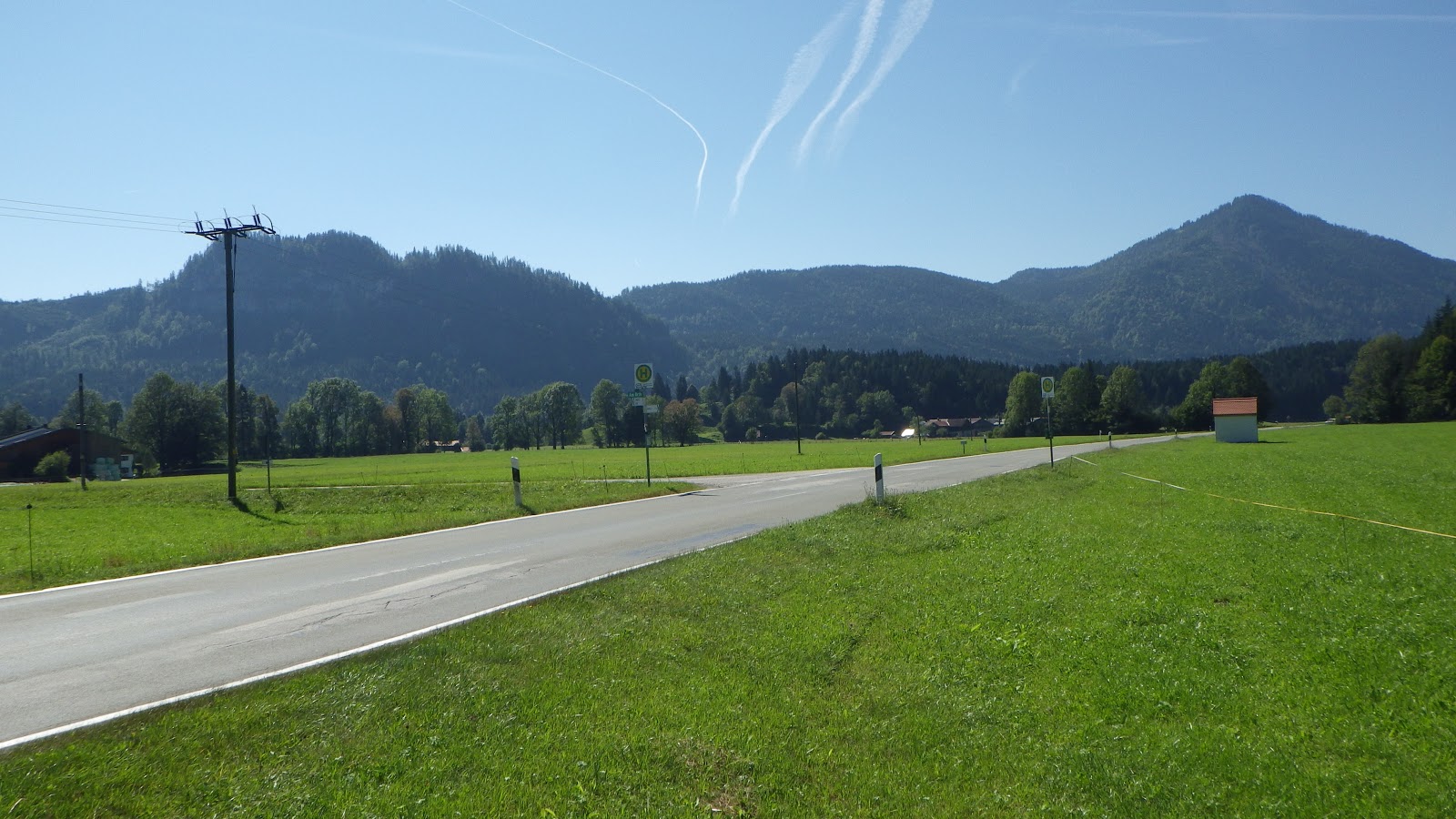
| Bavarian house in the Jachenau valley |
 |
| Bavarian hut |
 |
| Trinity cloud on the 3Elements tour |
 |
| Muddy paths |
 |
| Maori in the woods!? |
 |
| No, not Maori - just an exhausted Andreas |
 |
| Moon? Mars? ...Rißbach river bed |
 |
| View into the Karwendel mountain range... lets walk |
 |
| down the Rißscharte ridge |
 |
| Isar between Jachenau and Hinterautal |
 |
| Shiny view |
 |
| Sunset -still need to walk to the end of the valley, allowing to be on time for another paraglide lauch to the south next morning |
 |
| Night walker |
 |
| Day creamer & dreamer |
 |
| Knock, knock: Time to wake up Neo! |
 |
| Whos that? |
 |
| Unable to hike up to the Sojernspitze in the night, so lets walk the rest in the morning.. |
 |
| On the right track to Sojernspitze |
 |
| Morning swim will need to wait until next time |
 |
| View back north from Sojernhut to the mountain ridge Benediktenwand & Brauneck, where I launched yesterday |
 |
| On top of Sojernspitze, looking back north, lake Walchensee infront |
 |
| Sojernspitze looking west into dirction of Garmisch / Zugspitze / Wetterstein |
 |
| Sojernspitze cross - ing summit |
 |
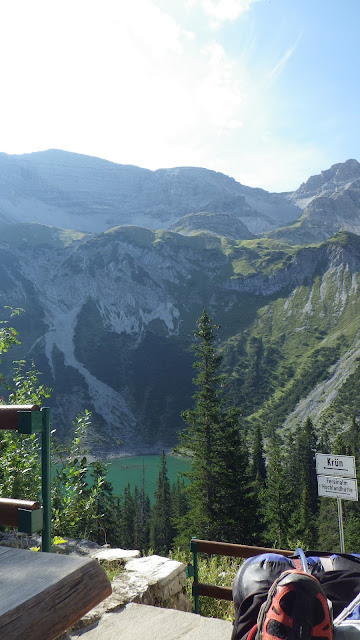
| The gap in the middle of the picture is the gap I want paraglide to: Bärlialp on the north ridge of Karwendel |
 |
| Goal of the day, the Karwendel valley between north and south Karwendel ridge. Highest peak on the left is the Birkarspitze 2.749m, the highest summit in the Karwendel - will cross there next day into valley of the Isar source |
 |
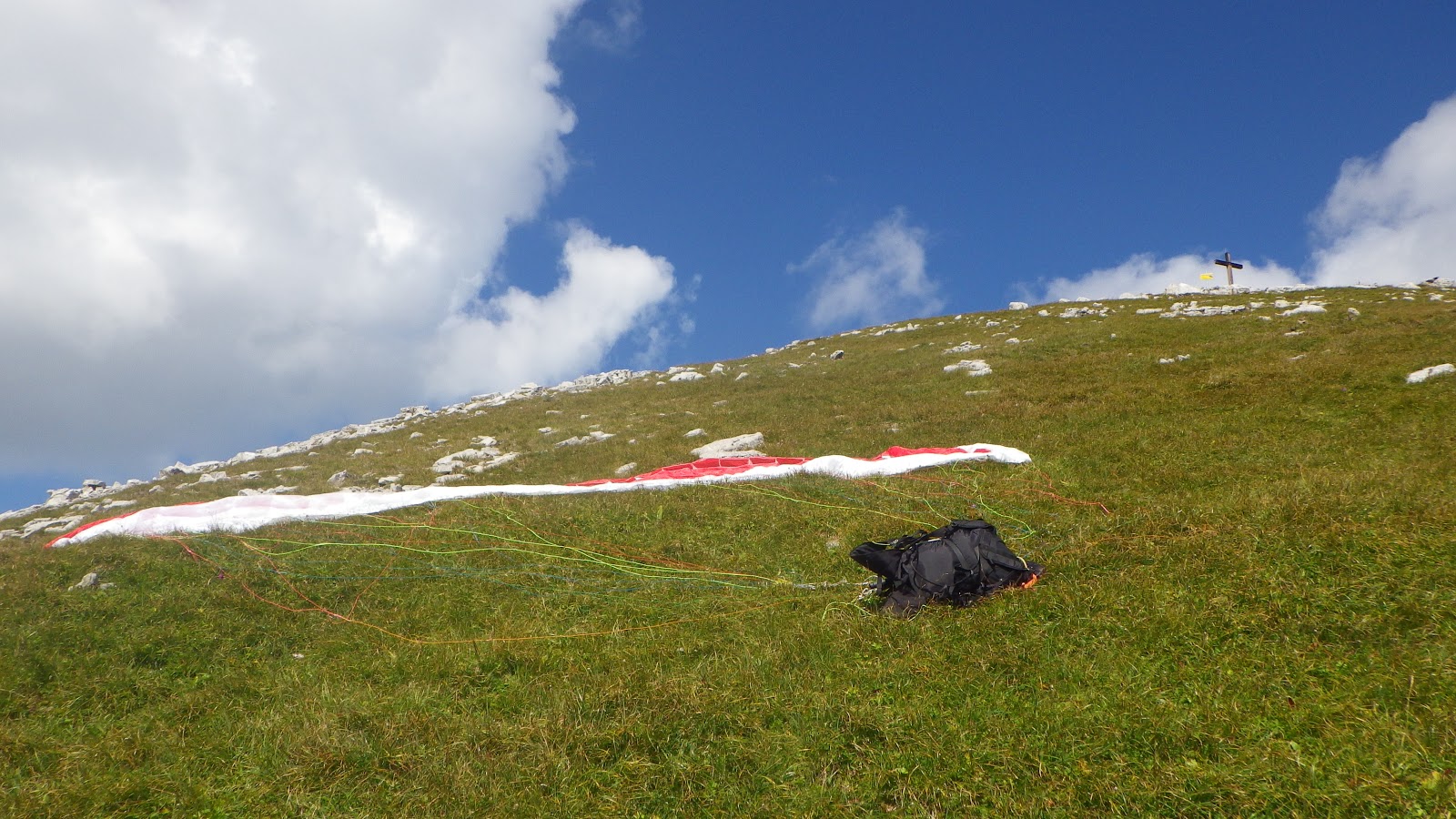
| Paraglide launch on the Sojerspitze.. |
 |
| ...and landing zone south, crossing the valley in direction to the Bärlialp |
 |
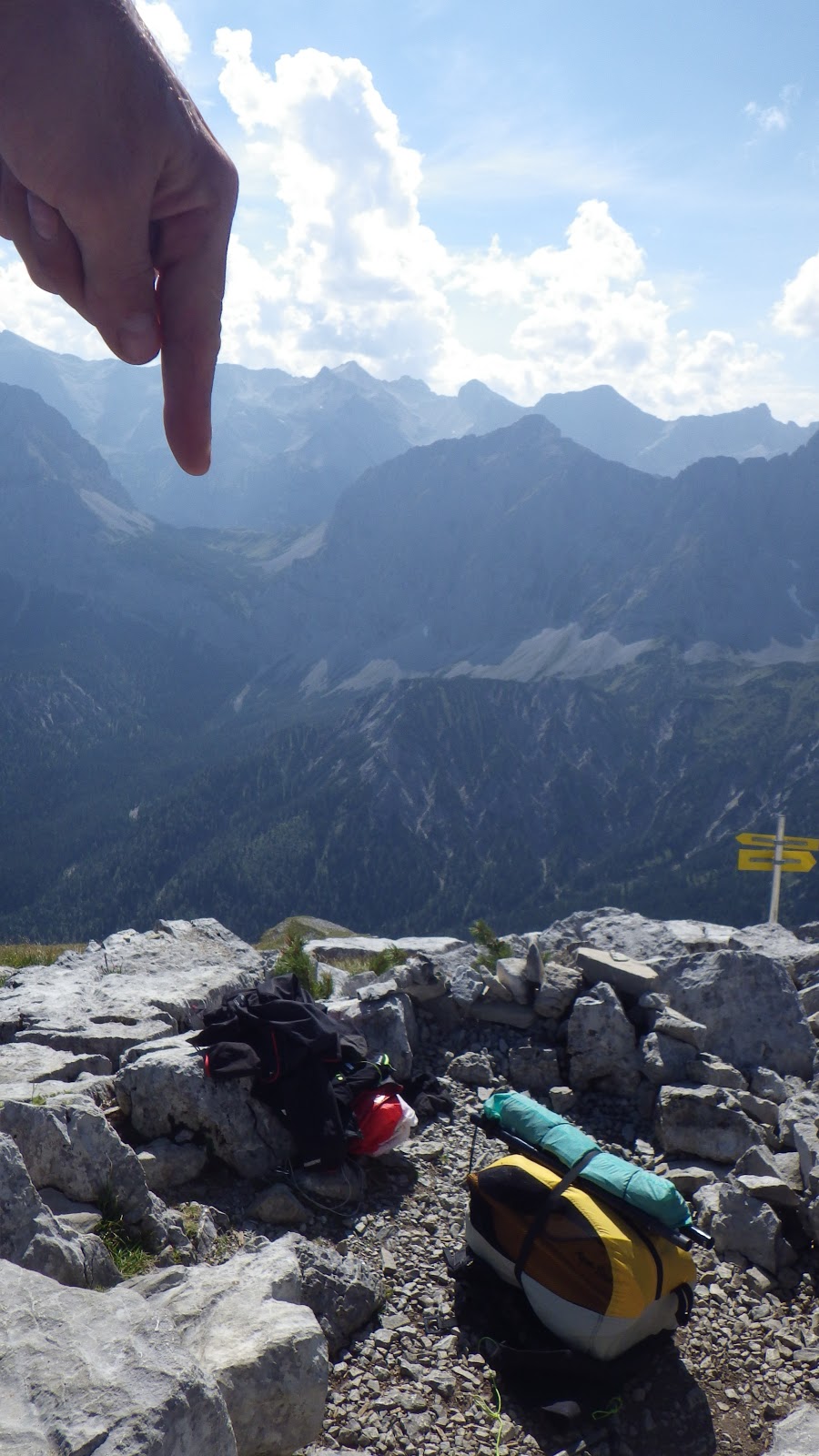
| Finger tipping on Sojernspitze paraglide launch |
 |
| Happy to have made it so far |
 |
| ...pack up for walking again |
 |
| Nice view back north on my way |
 |
| Getting more rocky |
 |
| Along the north ridge of Karwendel to the Bäralpi crossing |
 |
| Again: Moon or Mars? ...just dirty snow :-) |
 |
| ...not eating yellow snow! |
 |
| Getting closer to the Bäralpi gap crossing |
 |
| Experience needed!? Whats that? |
 |
| View back, Sojerspitze on the right |
 |
| On the Bärlialp ridge gap, view south into Austria, D for Deutschland... |
 |
| ...and view back north to Germany, Ö for Österreich |
 |
| ! ACHTUNG ! ...ähhhh, what for? |
 |
| This way south to Karwendelhaus |
 |
| Elementary atmosphere |
 |
| 3rd night below Karwendelhouse, Schlauchkar and Birkkarspitze |
 |
| Walking up Schauchkar to the Birkarspitze / Birkarscharte |
 |
| Zoomed Bärlialp back north |
 |
| ...zooming out |
 |
| ...zoomed out, higher up |
 |
| Schlauchkar, the track up to Birkarspitze |
 |
| On the Birkarridge |
 |
| Bivouac hut and Birkarspitze |
No joking - no biking - no paraglide launching and landing... but you can cross country ski, large group trekking, cross country crossing, go hunting, mountain bike the trials, drive thousends of peoples with hundreds of buses into the Hinterautal, race with your motorbike in the valley, drive elektro bikes like on a german Autobahn on the Tirol Bike Trial, daily drive in with cars, trucks, (name it) to ensure supply of all the huts with food (needed to keep the business going for all those people shoveled in with the tourist buses, ..., ..., ... , .... and we need signs on bivouac huts ! ;-)
 |
| Bivouac hut below Birkarspitze |
 |
| Esacping north down to the valley of Isar springs |
 |
| Looking back up (can you see/find people walking down the path?) |
 |
| Close up of two walking down |
 |
| Further down... |
 |
| ...almost down... |
 |
| ...down southside of Birkar ridge |
 |
| On the source of Isar |
 |
| Mhhhh.... ??? |
 |
| ...whats plural for stone phallus? |
 |
| Upper Isar valley: Be aware of reckless electro-(mountain)-bike drivers on the Isartrail |
 |
| Unpack packraft |
 |
| Ready? |
 |
| This way down |
 |
| Welcome into the flow |
 |
| Looks cold, is cold |
 |
| Looks Cold, not look cool! |
 |
| more of the cold stuff to go |
 |
| Tooooooooooooo cold, exit at Scharnitz |
:-)


No comments:
Post a Comment